Our Maine maps are available & include Kennebunkport, harbors, cities & counties. Purchase antique maps of Maine and preserve a bit of American history! The color lithographs whereas each and every color was applied with an individual key stoned limestone plate. They are very detailed showing railroads, roads and property names. The maps are of Cities and Counties in the state of Maine at 1900 and were published in 1901. Old maps are beautiful to look at and when you own an antique map you are preserving history. Such a combination will bring you pleasure for years to come. Each piece is in pristine condition and color. Call Anne directly at 413-245-4197 to place your order.
Antique Maine Maps of Cities & Counties in ME from 1901

Plan of Cape Arundel Kennebunkport Maine, Double Page with Franklin Co. $150. 
Lincoln and Knox County. 1901. $125. 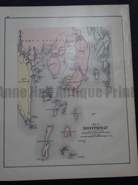
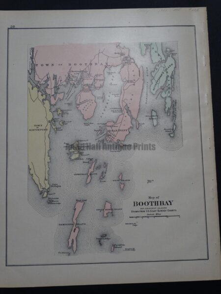
Map of Boothbay and Adjacent Islands. 1901. $125. 
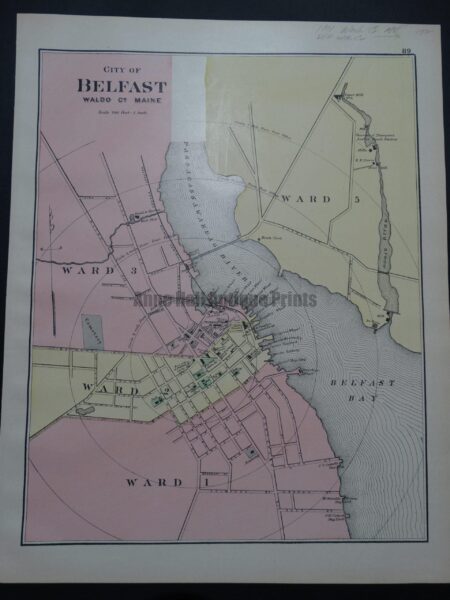
City of Belfast, Waldo Co Maine. Double page with WA Co. 1901. $150. 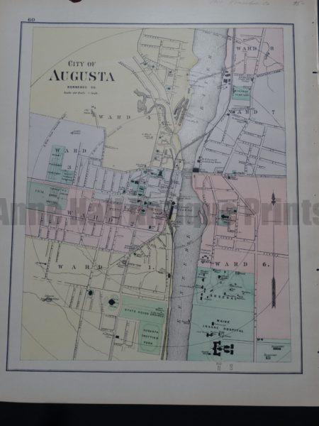
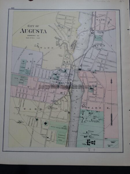
City of Augusta Kennebec Co. 1901. $95. 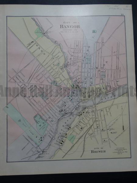
City of Bangor and City of Brewer. 1901. $95. 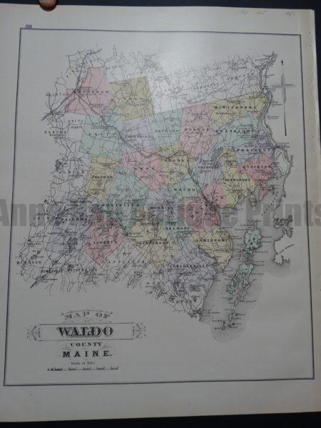
Map of Waldo County Maine, 1901. $95. 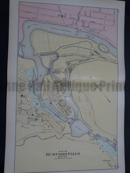
Map of Rumford Falls Maine 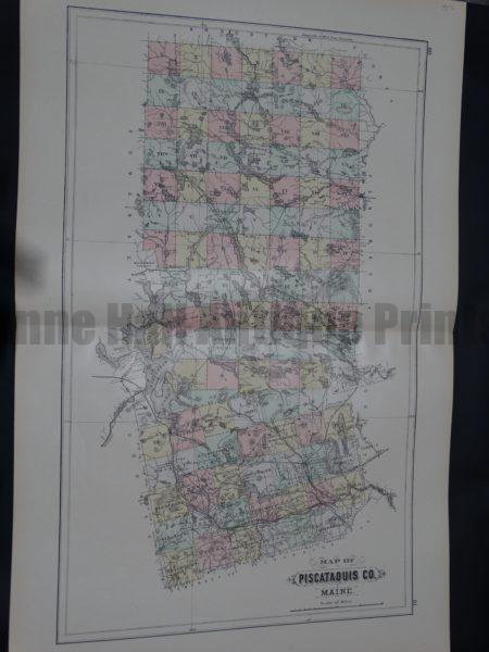
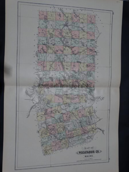
Map of Piscataquis Co Maine. $95. 
Map of Lincoln County and Sagadahoc County Maine. Double page with Oxford Co. 1901. $125. 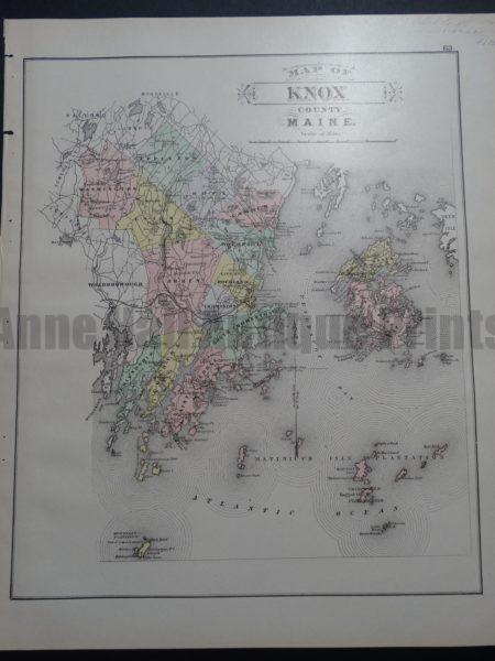
SOLD 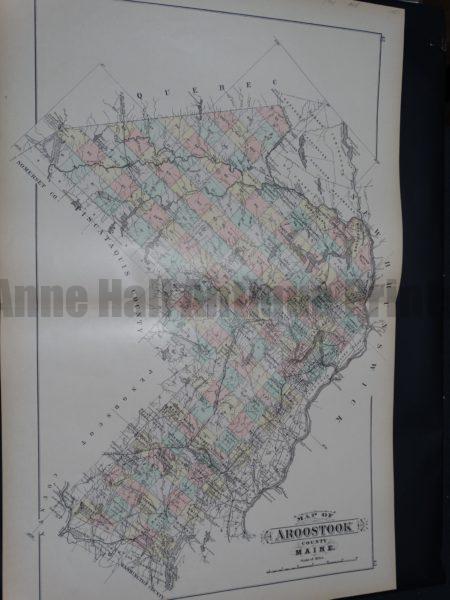
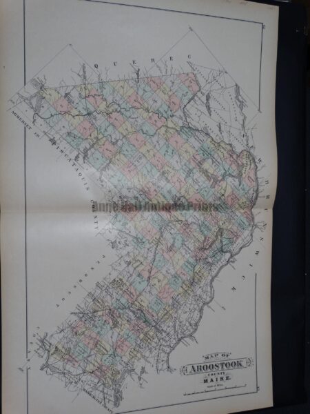
Map of Aroostook County Maine. 1901. $125. 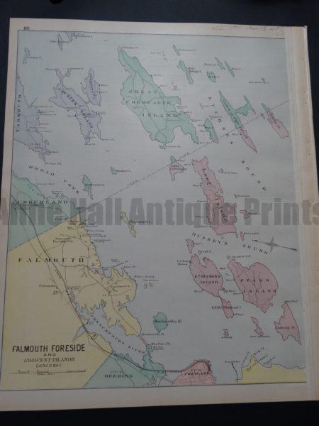
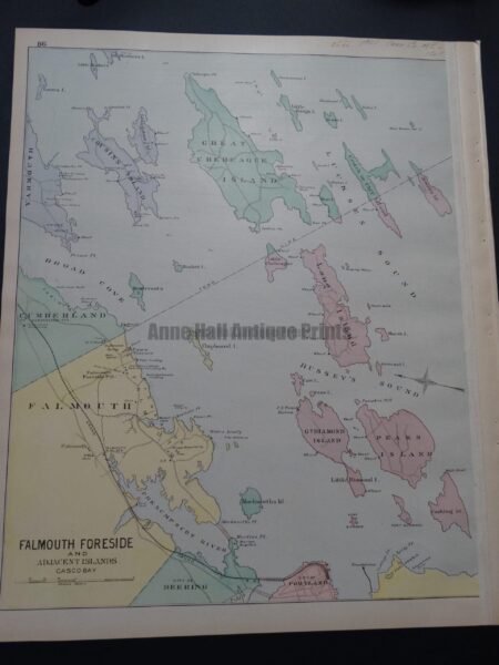
Falmouth Foreside and Adjacent Islands. 1901. $150. 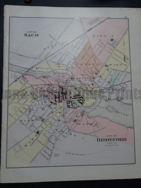
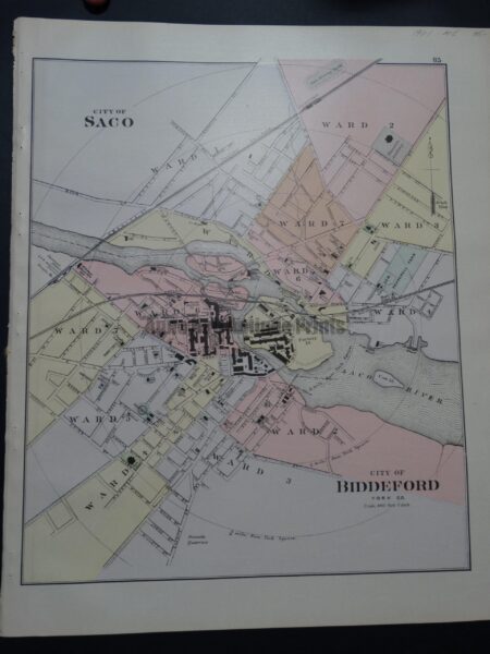
City of Saco and City of Biddeford. 1901. $95. 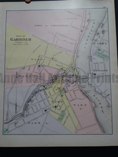
City of Gardiner. 1901. $95. 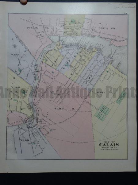
City of Calais. 1901. $95. 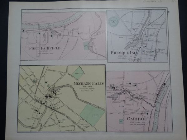
Aroostook County: Fort Fairfield, Presque Isle, Mechanic Falls, and Caribou. $95.